Presented by
Ville de Rouyn‑NorandaTake the voyageurs' route and discover the southern districts of the City of Rouyn-Noranda!
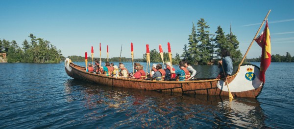
The first inhabitants of the Abitibi and Témiscamingue territory, the Anishnabe, were able to move around thanks to its unparalleled network of lakes and rivers. This was also the route taken by travelers, fur traders, and much later, prospectors and missionaries arriving in Rouyn-Noranda. Connecting the region to the south of the province via the Ottawa River, the voyageurs' route is steeped in history.
In 1929, under the initiative of the federal government, the Gordon plan was implemented to settle colonists on new lands. This plan extended from 1932 to 1934. At that time part of the Témiscamingue territory, Rollet and Montbeillard were established with the mission to become agricultural and forestry parishes.
The arrival into the modern era was very late for some parishes! Although telephone services were installed throughout the territory between 1940 and 1950, some localities had to wait until 1985 to get individual lines! Electrification was also a luxury that many families awaited for nearly 20 years. While Arntfield could boast of having electricity as early as 1946, other parishes like Montbeillard and Rollet had to wait until 1954 to enjoy the magic of a 100-watt bulb in the kitchen.
ON SITE
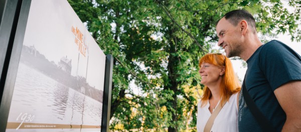
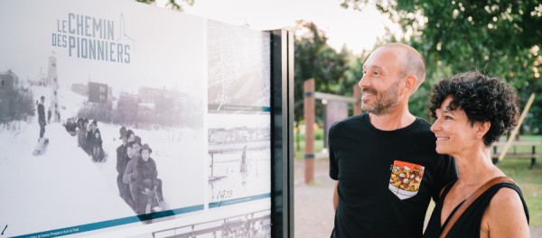
You will find interpretation panels related to the districts at each point of interest. Throughout the route, let your mobile guide you with the interactive map that presents additional content on demand for each point of interest. Additionally, throughout your journey, you can locate yourself in real-time via GPS in relation to the places of interest.
OPTIMIZED EXPERIENCE
For a better experience, we suggest using the BaladoDiscovery app and selecting the option to Preload the circuit. You can then access the circuit without needing to be connected to the Internet during your travels.
Practical tip for your car trips: the utility Shortcut to Get There includes voice assistance. This option is useful for navigating to any point of interest on the tour. This prevents you from having to look at your mobile screen during the journey.
CREDITS
Research and writing: Ariane Ouellet
Project committee: Lise Paquet, Candide Beauvais, and Annie Bélanger
Revision: Marie-Claude Leclercq, City History and Toponymy Committee, and Alexandre Faucher, Corporation of La maison Dumulon
Proofreading: Carmen Dion
Illustrations: Annie Boulanger
Adaptation to BaladoDiscovery format: Kristopher Vandal
Traduction: Neighbours
For an enhanced experience, download the BaladoDiscovery app.






Comments
The Travelers Route | Rural Life