Presented by
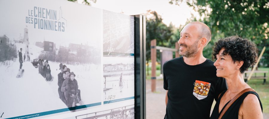
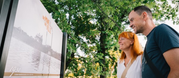
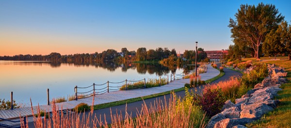
Ville de Rouyn‑NorandaThe "Pioneers Road" historical interpretation trail introduces you to the main buildings and heritage sites of the first district of the former town of Rouyn, which began to take shape on the shores of Osisko Lake in 1926. In 1986, Rouyn was merged with Noranda, the town on the other side of the lake, to form Rouyn-Noranda.
The circuit was laid out in 2000 by the Société d'histoire de Rouyn-Noranda and restored in 2019 by the Ville de Rouyn-Noranda.
ON SITE
For an optimal on-site experience, we suggest that you use the BaladoDiscovery application (rather than the website) and select the option offering you to Preload the circuit. You can then access the circuit without Internet on site.
You'll find 14 interpretation panels grouped into 7 themed stations, each corresponding to a point of interest. All along the route, let your cell phone guide you with the help of the interactive map, which presents additional content on request for each point of interest. What's more, throughout your journey, you can use real-time GPS to locate yourself in relation to the points of interest.
And don't hesitate to scan the QR codes on several panels, which will take you to the Indice du Bonheur audio capsules related to the theme in question!
CREDITS
Special thanks to Neighbours Regional Association of Rouyn-Noranda for translating the tour into English.
Société d'histoire de Rouyn-Noranda
Restoration in 2019: Ville de Rouyn-Noranda and Benoît-Beaudry Gourd
Adapted for BaladoDécouverte: Kristopher Vandal and Lise Paquet


Comments
The Pioneers Road